China clearly did not appreciate India’s sensitivity towards any Chinese presence on the Jampheri Ridge south of the Dolam Plateau and the implications for the security of the Siliguri Corridor that connects eastern India with the rest of the country. But India has also not grasped the degree to which China believes it has already established a presence on the plateau, which forms part of China’s dispute with Bhutan in this area.
In either the 1980s or the early 2000s, China built a dirt road from the Chumbi Valley in Tibet to Shenche La that Bhutan views as the border with China, and then onto the Dolam Plateau. This road terminates less than 100 metres from the Indian outpost at Doka La, near the site of the current standoff. Probably at the end of the 2000s, China enhanced or regraded the road and added the ‘turning point’ for Chinese vehicles to turn around and return to the Chumbi Valley.
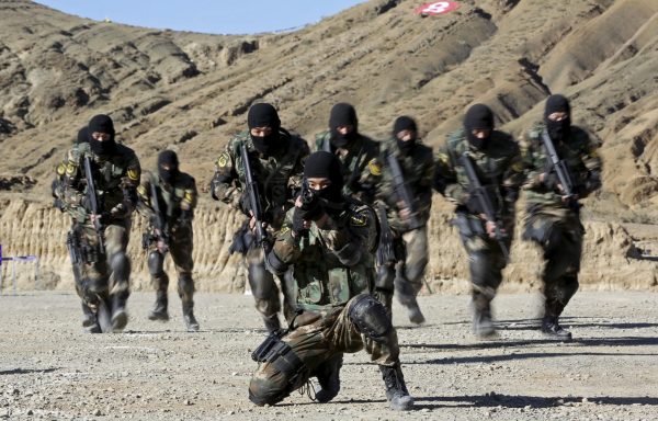
For India, any Chinese presence on the Dolam plateau is worrying. And any extension of the road toward the Jampheri Ridge would constitute a real change to the status quo. Yet for China, India’s actions are also unprecedented. As former Indian foreign secretary Shyam Saran wrote a few weeks ago, ‘This is the first time that Indian forces have engaged China from the soil of a third country’. Specifically, the Indian Army moved forces beyond the international border to pre-empt Chinese efforts to start extending the road toward the Jampheri Ridge.
Unfortunately, the 1890 convention delimiting the border between Tibet and Sikkim further complicates the situation. The convention contains a contradiction that allows each side to claim it supports its own position. Article 1 states that the border begins at Mount Gipmochi, roughly three kilometres south of the Chinese road and the western point of the Jampheri Ridge. Article 1 also states that the boundary will follow the watershed.
But Mount Gipmochi is not the start of the watershed, and the convention did not explain how to square this circle. Sometime between 1907 and 1913, Britain published a map of the area showing the border starting at Batang La, 6 kilometres north of Mount Gipmochi, effectively changing the terms of the convention.
Unsurprisingly, India and China have chosen the starting point of their border in the region that maximises their own interests. This creates a conflict between the black letter of the 1890 convention, which Britain and China ratified, and the main principle of delimitation. These divergent interpretations also bear a disturbing resemblance to the dispute over the Thag La ridge and Dhola post in the eastern sector of the China–India border dispute that sparked war in 1962.
In the eastern sector, India maintained that the China–India border was delimited by the McMahon Line from the 1914 Simla Convention. McMahon’s line generally followed the watershed between present-day India and China. Unfortunately, for the last 25 kilometres or so, the line did not follow the watershed but was drawn south of the Thag La Ridge.
The Indian Army post at Dhola established in June 1962 lies in the area between the watershed to the north and the McMahon Line to the south. China challenged the Indian post as being located in undisputed Chinese territory. The gradual escalation of tensions over Dhola played a key role in then Chinese leader Mao Zedong’s final decision to declare war on 22 October 1962.
To be sure, the analogy to the present is imperfect. Overall, India–China relations are stable, including on the border. Neither side has deployed large numbers of forces nearby on Dolam. Unlike Dhola, where China dominated the high ground, the local geography favours India, which can easily deploy forces already in Sikkim. China must rely on the single road in the area that climbs more than 1,400 meters from the Chumbi Valley to the Dolam Plateau.
Despite the imperfections of the analogy, it does highlight the danger of the present situation. China believes the black letter of the 1890 convention not only supports its presence on the Dolam Plateau but also its right to extend roads in the area south to Gipmochi. India believes the border lies to the north at Batang La, which justifies its challenge of China beyond its borders on the Dolam Plateau. But this is based on the watershed principle contained in the convention and what appears to be Britain’s subsequent map.
The longer the standoff lasts, the more easily these positions will harden. Given the unprecedented Indian presence in territory disputed by China and Bhutan, China may conclude that it needs to strengthen its physical position on the Dolam Plateau. Beijing could build more permanent structures behind the ‘turning point’ at Doka La, using the Indian challenge to justify further steps to consolidate its presence on Dolam. India would then be faced with accepting a larger, more permanent Chinese presence or escalating further to stop it.
The most realistic outcome would be restoration to the situation that existed before June 2017. This would mean the return of Indian troops to Indian territory and the withdrawal of Chinese construction crews from the area. India may demand or hope that China will vacate the Dolam Plateau, but China is unlikely to leave an area where it believes it has maintained a presence for decades. The danger inherent in the current stand-off demands a quick resolution.
M. Taylor Fravel is Associate Professor of Political Science and member of the Security Studies Program at MIT.
This article was originally published here on the Indian Express.
India needs to declare the 1890 Convention either valid or invalid. If not valid , then the Sikkim-China boundary question will be opened up for negotiation. There is no need to cast aspersion on the Chinese claim of a settled boundary based on the 1890 Convention.
The 1890 Convention specifically mentions Mt Gipmochi as the starting point. This has to take precedent over the general watershed principle, otherwise it is pointless to mention Mt Gipmochi in the Convention. That is the whole intent in the 1890 Convention. What maps the British produced unilaterally after that does not have any legality and is not binding on the Chinese. Neither the British nor the Indians have any right to unilaterally interpret the Treaty.
The McMahon Line is a unilateral attempt by the British Raj to detach Tibet from China. The Simla Convention was never ratified by the Chinese. It does not have the force and legality of a treaty. The Indians might try to portray the McMahon Line as enforceable and binding on the Chinese, but they will not succeed. Having illegally imposed their control over the South Tibet using the McMahon Line during the Chinese civil war, the Indians tried to unilaterally interpret the demarcation on the ground based on the watershed principle leading to the 1962 conflict.
If the Indians try to unilaterally interpret the 1890 Convention, there will be war again.